On the slopes above Altadena, rain has a particular way of arriving: it can bring the hillside with it. The area’s burn scar has become one of the places scientists are watching as a potentially powerful El Niño approaches, because a winter storm does not need to cover the whole state to make a costly mess.
The coming season is being treated as more than a routine wet-weather exercise. A NOAA outlook gives the California coast a 50% to 60% chance of above-normal precipitation during the winter months, while researchers have raised concerns about heavy rain and erosion around the Altadena burn scar.
Water Has Somewhere to Go
On September 21, Gov. Gavin Newsom proclaimed a statewide emergency to help agencies prepare roads, infrastructure and emergency supplies for flooding, landslides and coastal hazards. The proclamation also gives state agencies a way to move faster on procurement and coordination before the storms arrive.
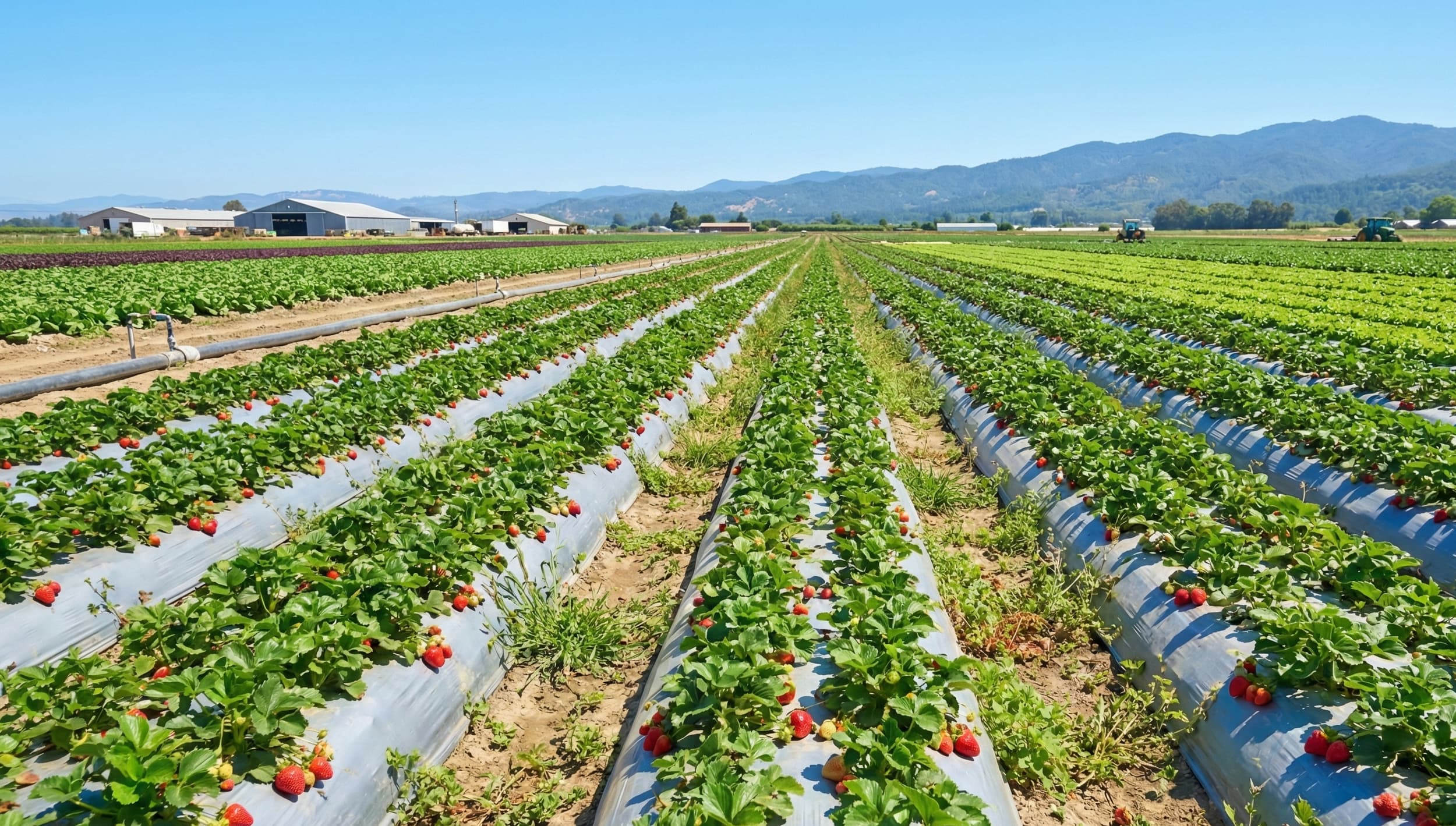
For farms, the less cinematic version of the problem is often the more persistent one. Fields can hold water after a storm has moved on, access roads can soften, and roots can spend too long in airless soil. The University of California Agriculture and Natural Resources has described the anticipated cycle as one that could bring heavy rain and flooding across California from late fall through winter.
A Wet Winter Is Not a Uniform Winter
Strong El Niño events tend to pull the jet stream and atmospheric rivers south toward California, and warmer Pacific waters can add fuel to those systems. Forecast models cited by the Sacramento Bee show extra precipitation across nearly the entire state in December and January, but a statewide color map does not reveal which ranch road will rut first or which field edge will pond.
The pattern may also be influenced by a developing positive Indian Ocean Dipole, which could reinforce a wetter setup in the West. That combination is one reason the season has drawn attention, though El Niño strength is not a precise rainfall dial and individual storms can still land in very different places.
The immediate crop concern is a sequence rather than a single deluge: repeated wetting, slow drainage and a longer window for pathogens to establish. Localized flooding and increased disease pressure may be especially consequential where winter operations already run close to the edge of workable soil conditions.
The Forecast Meets the Field
That leaves growers with a familiar California paradox. More precipitation can ease pressure on reservoirs and landscapes after dry years, while the timing and intensity of the same water can interfere with harvest cleanup, pruning, planting and access. A storm can be welcome in the basin and unwelcome at the field gate.
The state’s emergency posture is therefore aimed at the unglamorous pieces of preparation: clearing routes, staging supplies and reducing exposure around vulnerable infrastructure. On farms, the useful decisions will be similarly physical—where water collects, which entrances fail first and how quickly crews can get back onto the ground after a storm.